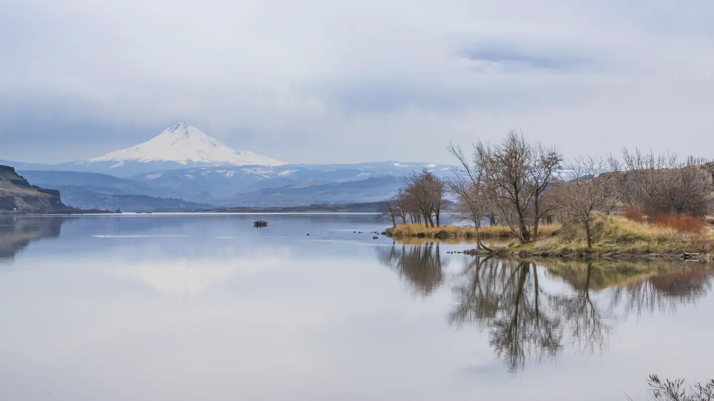
The Columbia Gorge
Trip worthy places, an hour from Hood River.
USACE
Before you go
- road
I-84, 6 miles East of Multnomah Falls · Closure · Milepost 37
Roadwork has the EB on ramp closed at MP 37. Use an alternate route. Ramps Affected.
ODOT TripCheck · Full advisory
- road
I-84, 6 miles East of Multnomah Falls · Estimated delay under 20 minutes · Milepost 37
Road work has the EB right lane closed MP 37-38. Prepare to slow or move over for worker safety.
ODOT TripCheck · Full advisory
- road
I-84, 4 miles East of Hood River · Estimated delay under 20 minutes · Milepost 68
Road construction is occurring. Prepare to slow. Watch for workers.
ODOT TripCheck · Full advisory
- road
I-84, 6 miles East of Multnomah Falls · Estimated delay under 20 minutes · Milepost 37.3
Traffic impacts: Travelers can expect all travel lanes open eastbound and westbound on I-84 at McCord Creek Bridge.
ODOT TripCheck · Full advisory
- road
I-84, The Dalles · Estimated delay under 20 minutes · Milepost 84
Bridge work is occurring. Prepare to slow.
ODOT TripCheck · Full advisory
- road
SR 142 · Maintenance · Milepost 32
Maintenance on SR 142 from milepost 32 near Knight Road to milepost 31 near Knight Road will be alternating traffic with flaggers. Use caution when approaching the area and expect delays beginning at 8:35 am on September 14, 2026 until further notice.
WSDOT · Full advisory
This week
Checked just now
Forecast
-
Today 71° Sunny · 10 mph
Hour Temp Wind Rain 11 am 61° 10 mph W — 12 pm 65° 9 mph W — 1 pm 68° 9 mph W — 2 pm 69° 9 mph W — 3 pm 69° 9 mph W — 4 pm 71° 8 mph W 1% 5 pm 69° 8 mph W 1% -
Tuesday 70° Partly Sunny · 2 to 6 mph
Hour Temp Wind Rain 6 am 48° 3 mph W — 7 am 48° 3 mph W — 8 am 51° 3 mph W — 9 am 55° 3 mph W — 10 am 59° 3 mph W — 11 am 62° 5 mph W 2% 12 pm 65° 5 mph W — 1 pm 68° 5 mph W 2% 2 pm 69° 5 mph W 2% 3 pm 69° 5 mph W — 4 pm 70° 5 mph W 1% 5 pm 69° 5 mph W 10% -
Wednesday 77° Patchy Fog then Sunny · 1 to 6 mph
Hour Temp Wind Rain 6 am 51° 1 mph N — 7 am 52° 1 mph N — 8 am 53° 2 mph NE — 9 am 57° 2 mph NE — 10 am 62° 2 mph NE — 11 am 67° 3 mph E — 12 pm 70° 3 mph E — 1 pm 73° 3 mph E — 2 pm 75° 6 mph E — 3 pm 76° 6 mph E — 4 pm 76° 6 mph E — 5 pm 75° 3 mph E — -
Thursday 82° Sunny · 3 mph
Hour Temp Wind Rain 6 am 54° 1 mph N — 7 am 54° 1 mph N — 8 am 56° 2 mph N — 9 am 60° 2 mph N — 10 am 66° 2 mph N — 11 am 71° 2 mph E 1% 12 pm 75° 2 mph E 1% 1 pm 78° 2 mph E 1% 2 pm 79° 3 mph SE 1% 3 pm 81° 3 mph SE 1% 4 pm 81° 3 mph SE 1% 5 pm 79° 2 mph SW 1%
Happening
No scheduled programs listed.
Worth the drive
8 places

Buck Creek Trailhead #1
Buck Creek Trailhead #1 provides southern access to the non-motorized Buck Creek trail loop, which ascends into Buck Creek Valley, twists around Nestor Peak, and follows along through Buck Creek and Middle Fork rivers. The full loop is about 18 miles.

Buck Creek Trailhead #2
Buck Creek Trailhead #2 is a popular outdoor destination for horseback riders, mountain bikers, and hikers. The 18-mile non-motorized trail system loop provides visitors views of Mount Hood and the Columbia River Gorge.

Columbia Hills Natural Area Preserve
A primitive road that climbs 2 1/2 miles through the Columbia Hills Natural Area Preserve to the ridge-crest is open for pedestrian access. Visitors have close-up views of many of the wildflowers that grow along the 1,200-foot elevation gradient that the road …

Dougan Creek Campground
The large boulders, forested edges, and cascading 100-foot waterfalls of Dougan Creek are a treat for picnickers and campers who visit Yacolt Burn State Forest. Dougan Falls Campground is open April 15 through October 15, weather dependent.
Dougan Falls Day Use Area
The large boulders, forested edges, and cascading 100-foot waterfalls of Dougan Creek are a treat for picnickers and campers who visit Yacolt Burn State Forest. The day-use area has picnic tables and a vault toilet.

Grouse Vista Trailhead
Located in the Yacolt Burn State Forest, Grouse Vista offers access for hikers, mountain bikers, and horseback riders. The site provides access to the 22-mile Tarbell Loop, with additional connections to US Forest Service trails.

Table Mountain
The Table Mountain Natural Resources Conservation Area is accessed from the Pacific Crest Trail near Bonneville Dam. The trail crosses through nearly 3 miles of the steep rocky trail.

Three Corner Rock Trailhead
Three Corner Rock Trailhead, in Yacolt Burn State Forest, provides access to a 9-mile trail and 2,650-foot elevation gain to views of Stebbins Creek Valley and Washougal River. This trail accesses the Pacific Crest Trail.
Explore by type
Look outside
Live from WSDOT
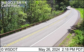 SR 14 at MP 23.9: CapeHorn
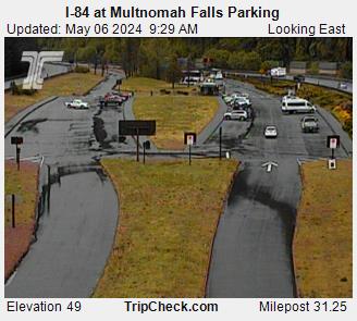 I-84 at Multnomah Falls Parking
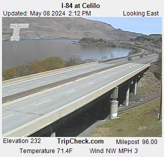 I-84 at Celilo
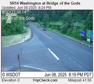 SR-14 Washington - Bridge of the Gods
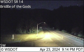 SR 14 at MP 41.5: Bridge of the Gods
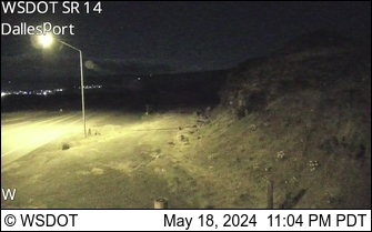 SR 14 at MP 83.5: Dallesport
Reload for the latest frame. Cameras go dark at night and in heavy weather, which is itself worth knowing before you set off.
Never miss a new destination