Whatcom County
Trip worthy places, an hour from Bellingham.
NPS Photo
Before you go
- danger
Smoke from Wildfires May Affect Air Quality North Cascades National Park
Smoke from wildfires is to be expected with active fires across the region.Take precautions when recreating outdoors when heavy smoke is present.
North Cascades National Park · Full advisory
- park closure
Marblemount Bridge September Nighttime Closure North Cascades National Park
Skagit River Marblemount Bridge will be closed overnight for repairs September 14-18, Monday night-Friday morning, 8 pm-4 am. There is no access to Cascade River Road during the nighttime closure.
North Cascades National Park · Full advisory
- park closure
Campfire Ban in All Portions of the Park Complex Begins June 29 North Cascades National Park
Effective Monday, June 29, campfires or the ignition of wood, briquettes, or any fuel in fire pits, fire pans, and barbeque grills, are banned in all portions of North Cascades National Park Service Complex, which includes North Cascades National Park, Ross Lake National Recreation Area, and Lake Chelan National Recreation Area.. This applies to anything that produces ash, including charcoal grills. Propane fire pits are not allowed during the ban.
North Cascades National Park · Full advisory
- park closure
Hozomeen Gate Remains Closed North Cascades National Park
Until further notice, the gate at Hozomeen will remain closed; vehicle and foot traffic across the US/Canada border is prohibited. Visitors must enter through a designated port of entry.
North Cascades National Park · Full advisory
- park closure
Fire Closures - Trail, Area, and Camp Closures North Cascades National Park
For closures due to fire activity visit the Fire Closures page, including trail, area, and camp closures for current and post fire conditions.
North Cascades National Park · Full advisory
- road
SR 9 · Construction · Milepost 87.16
Northbound and southbound SR 9 traffic will alternate over Klein Ditch bridge (milepost 87) south of Hopewell Road around the clock to inspect the bridge deck until further notice. Loads wider than 14 feet are not permitted over the bridge. This work is part of a project repaving sections of SR 9 and SR 547 in Whatcom County.
WSDOT · Full advisory
This week
Checked just now
Forecast
-
Today 73° Sunny · 6 mph
Hour Temp Wind Rain 10 am 63° 3 mph SSW — 11 am 67° 5 mph SW — 12 pm 69° 5 mph SW — 1 pm 70° 6 mph SW — 2 pm 71° 6 mph SW — 3 pm 72° 5 mph WSW — 4 pm 73° 5 mph SW — 5 pm 71° 3 mph WSW — -
Saturday 72° Partly Sunny · 5 mph
Hour Temp Wind Rain 6 am 53° 2 mph S — 7 am 53° 2 mph S — 8 am 55° 2 mph S — 9 am 57° 2 mph S — 10 am 62° 2 mph S — 11 am 65° 3 mph WSW — 12 pm 68° 3 mph WSW — 1 pm 70° 3 mph WSW — 2 pm 70° 5 mph WSW — 3 pm 72° 5 mph WSW — 4 pm 70° 5 mph WSW — 5 pm 70° 2 mph WSW — -
Sunday 73° Sunny · 1 to 5 mph
Hour Temp Wind Rain 6 am 52° 1 mph N — 7 am 52° 1 mph N — 8 am 54° 2 mph N — 9 am 57° 2 mph N — 10 am 61° 2 mph N — 11 am 65° 3 mph W — 12 pm 68° 3 mph W — 1 pm 70° 3 mph W — 2 pm 71° 5 mph W — 3 pm 72° 5 mph W — 4 pm 73° 5 mph W — 5 pm 71° 3 mph W — -
Monday 72° Mostly Sunny · 5 mph
Hour Temp Wind Rain 6 am 53° 3 mph S — 7 am 53° 3 mph S — 8 am 55° 2 mph SSE — 9 am 58° 2 mph SSE — 10 am 61° 2 mph SSE — 11 am 65° 5 mph S 2% 12 pm 68° 5 mph S 2% 1 pm 69° 5 mph S 2% 2 pm 70° 5 mph SSW 2% 3 pm 71° 5 mph SSW 2% 4 pm 71° 5 mph SSW 2% 5 pm 68° 3 mph SSW 1%
Happening
No scheduled programs listed.
On the water
Tides at Bellingham
Full tide table
| When | Tide | Height |
|---|---|---|
| Fri 4:44 am | Low | 0.4 ft |
| Fri 1:46 pm | High | 7.5 ft |
| Fri 7:20 pm | Low | 6.2 ft |
| Fri 9:18 pm | High | 6.6 ft |
| Sat 5:46 am | Low | 0.6 ft |
| Sat 2:50 pm | High | 7.7 ft |
| Sat 9:19 pm | Low | 6 ft |
| Sat 10:22 pm | High | 6.4 ft |
| Sun 6:54 am | Low | 0.8 ft |
| Sun 3:36 pm | High | 7.9 ft |
| Sun 9:54 pm | Low | 5.7 ft |
| Sun 11:45 pm | High | 6.2 ft |
| Mon 8:00 am | Low | 0.9 ft |
| Mon 4:10 pm | High | 7.9 ft |
| Mon 10:12 pm | Low | 5.3 ft |
| Tue 1:06 am | High | 6.2 ft |
| Tue 8:54 am | Low | 0.8 ft |
| Tue 4:35 pm | High | 7.9 ft |
| Tue 10:24 pm | Low | 4.9 ft |
| Wed 2:19 am | High | 6.4 ft |
| Wed 9:38 am | Low | 0.9 ft |
| Wed 4:52 pm | High | 7.9 ft |
| Wed 10:40 pm | Low | 4.2 ft |
| Thu 3:23 am | High | 6.7 ft |
| Thu 10:16 am | Low | 1.1 ft |
| Thu 5:06 pm | High | 7.9 ft |
| Thu 11:01 pm | Low | 3.4 ft |
| Fri 4:22 am | High | 6.9 ft |
| Fri 10:51 am | Low | 1.4 ft |
| Fri 5:19 pm | High | 8 ft |
Heights above MLLW. NOAA Tides & Currents
Worth the drive
38 places
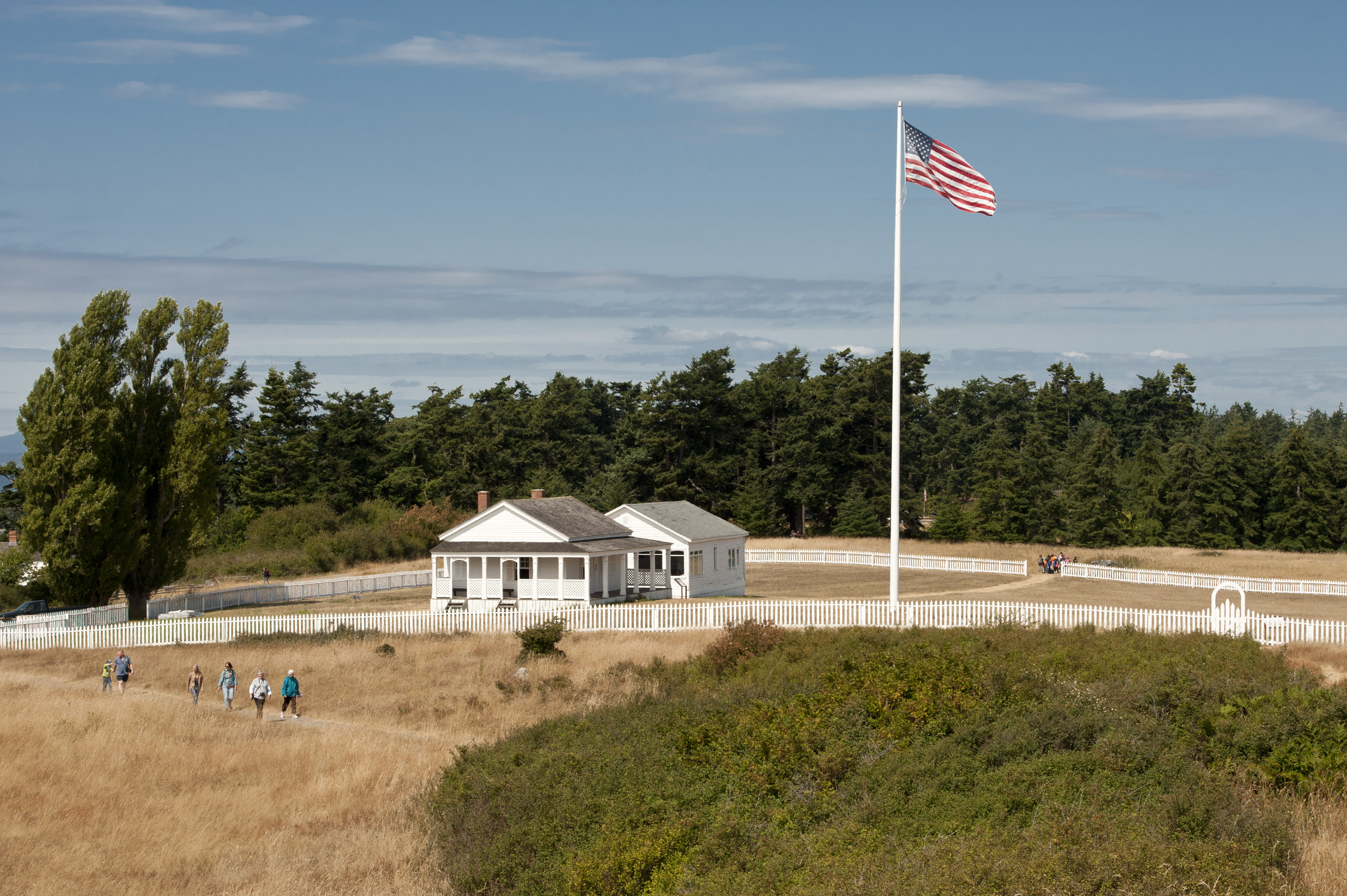
American Camp History Walk
Embark on a captivating 1 mile guided walk through San Juan Island National Historical Park, where you can relive the intriguing events of the Pig War. Interpretive waysides provide historical insight into the life of soldiers at American Camp.

Blanchard Lower Trailhead
Blanchard Lower serves as the southern entrance to the Chuckanut Mountains, and has wide switchbacks that connect with the Upper Trailhead, accessing 15 miles of trail.

Blanchard Upper Trailhead
Blanchard Upper provides the main access for non-motorized recreation use in the southern portion of the Chuckanut Mountains. The 15 miles of trail provide views of Samish Bay, the San Juan Islands, and pristine forest lakes.

Cypress Head
One of the most popular attractions in the Cypress Island Natural Resources Conservation Area, Cypress Head campground provides stunning views of the Bellingham Channel and Mount Baker. Boat access only.
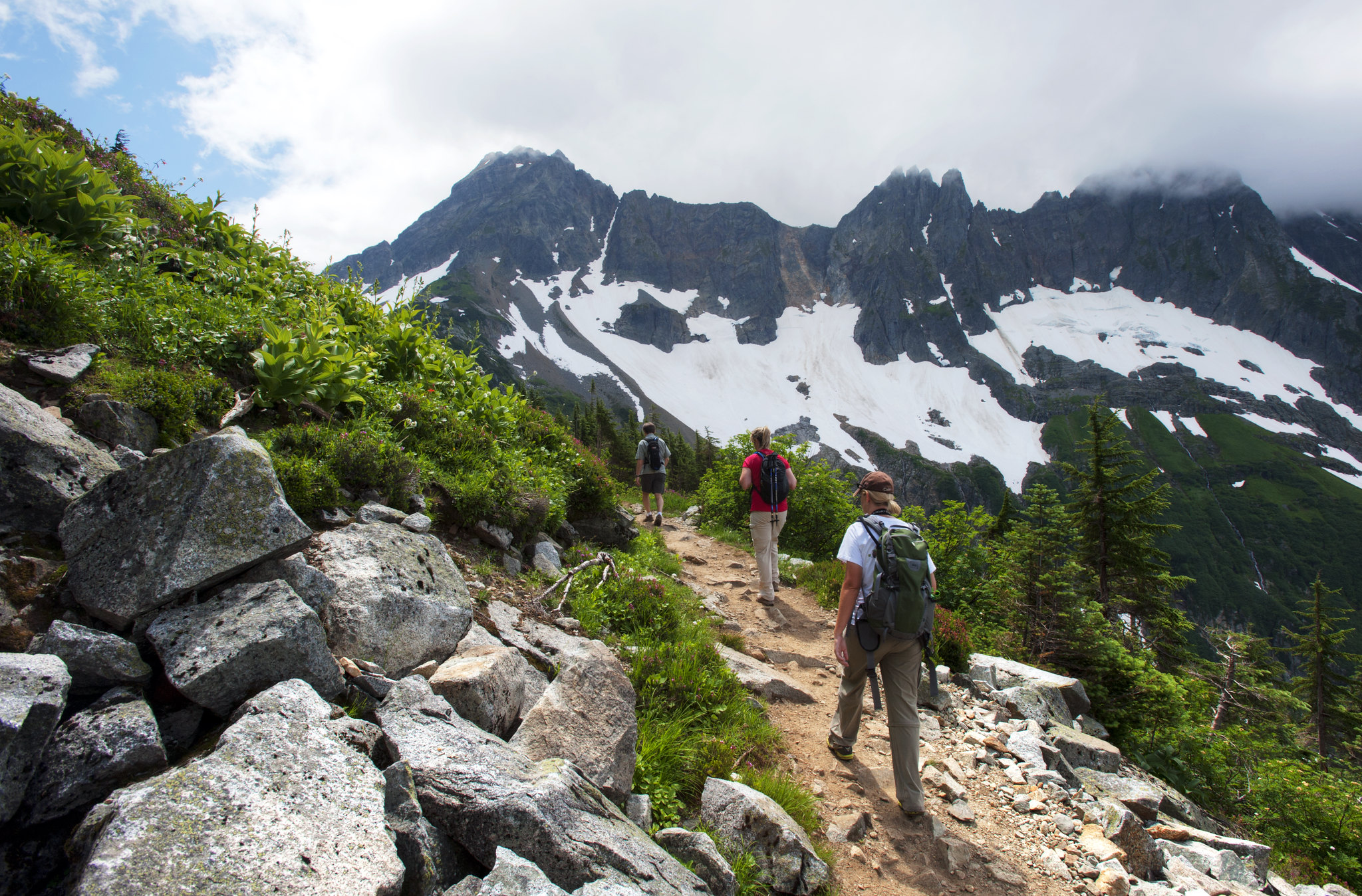
Day Hiking in North Cascades
Hike the North Cascades to experience some of the finest mountain country in North America.

Eagle Harbor
Located in the Cypress Island Natural Resources Conservation Area, Eagle Harbor is a quiet harbor nestled into the eastern shore of Cypress Island. Boat access only.

Galbraith Mountain
Galbraith Mountain is a world class mountain bike destination located within riding distance of downtown Bellingham. Over 70 miles of singletrack winds through 3,000 acres overlooking the city and Bellingham Bay. The mountain is accessible to all non-motorized…
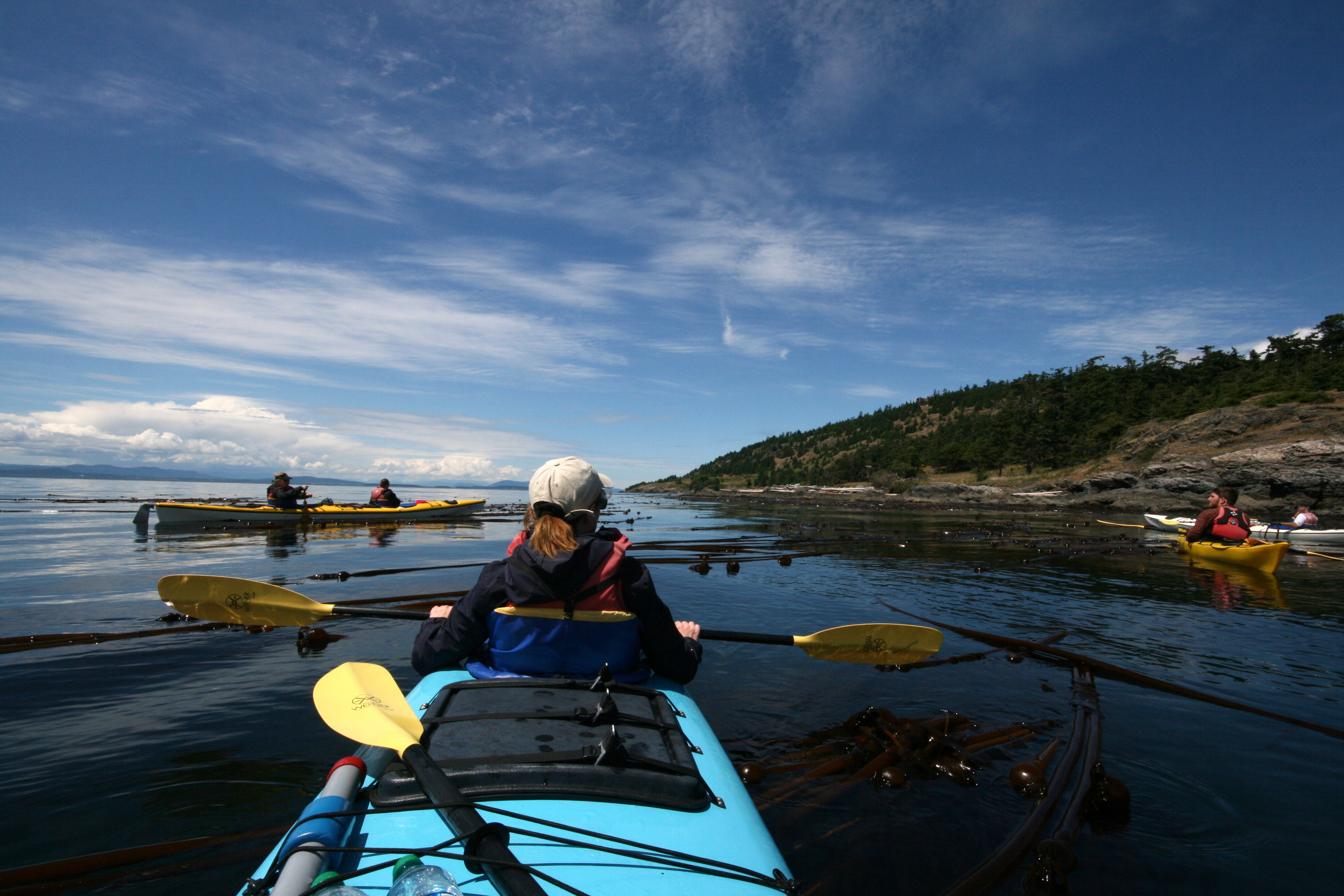
Go Kayaking
Many people come to San Juan Island seeking the adventure of exploring the area by boat. Sea kayaks are very popular for travel among the islands. Operating a small craft on the Salish Sea is fun and exciting, but can also be extremely hazardous when weather conditions become unfavorable. Paddlers must know their equipment, know their limits, obtain a current weather forecast, and respect the ever-changing environment of Puget Sound.
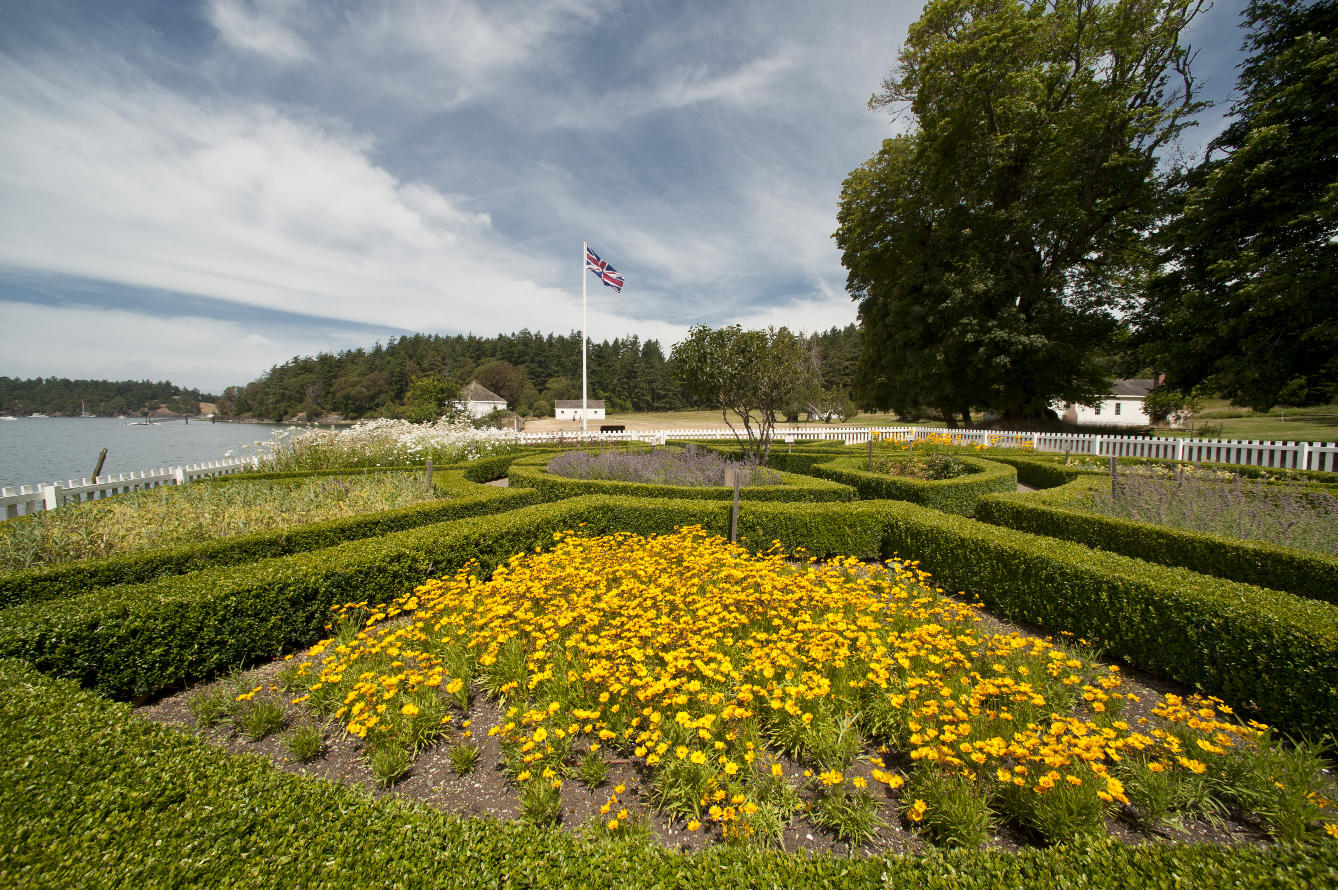
Hike Officer's Hill
The trails surrounding the Officers’ Quarters at English Camp offer a captivating journey through history and nature.
Explore by type
Look outside
Live from WSDOT
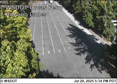 WSF Orcas Ferry Holding
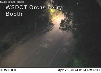 WSF Orcas Ferry Booth
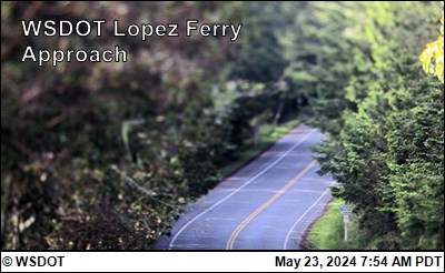 WSF Lopez Ferry Approach
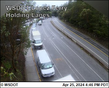 WSF Lopez Ferry Holding Looking South
 WSF Lopez Ferry Holding Middle
 WSF Lopez Ferry Holding Looking North
Reload for the latest frame. Cameras go dark at night and in heavy weather, which is itself worth knowing before you set off.
Never miss a new destination