
Olympic Peninsula
Trip worthy places, an hour from Port Angeles.
NPS Photo
Before you go
- danger
Crews Responding to Mount Tom Creek Fire Olympic National Park
Fire managers are responding to a lightning fire in a remote area of Olympic National Park. The Mount Tom Creek Fire has burned 69 acres 5 miles west-northwest of Mount Olympus. Firefighters are using indirect confinement tactics as part of a full-suppression strategy. Backpackers are encouraged to consider alternative routes to the Hoh River Trail should fire activity increase. There are no evacuation orders or closures.
Olympic National Park · Full advisory
- danger
Bat Tests Positive for Rabies, Visitors Urged to Report Potential Contact Olympic National Park
A rabid bat was found at Olympic National Park near Staircase Bridge on August 9th. At approximately 2 p.m., the bat swooped down onto an unidentified woman and was temporarily caught in her hair. This individual is at risk for rabies and should seek healthcare immediately, as well as contact the Mason County Health Department at 360-427-9670 ext. 405. More at the link.
Olympic National Park · Full advisory
- park closure
Mora Road Closed for Essential Repairs Olympic National Park
Mora Road is closed to all traffic, including bicycles and pedestrians, at the campground. Rialto Beach is not accessible via Mora Road during this construction period. Mora Campground is open. This construction work will repair damage from a severe winter flood event, fortify the road against river migration, and protect long-term access to Rialto Beach.
Olympic National Park · Full advisory
- road
US 101 · Road work · Milepost 189.14
Road work on US 101 both directions from milepost 189.14 near Mansfield Rd to milepost 189.43 near Mansfield Rd beginning at 11:39 am on September 9, 2026 until about 5:00 pm on September 25, 2026.
WSDOT · Full advisory
- road
SR 112 · Road work · Milepost 8
Road work on SR 112 both directions at milepost 8 beginning at 9:44 am on September 18, 2026 until further notice. Motorists can expect up to 30-minute delays.
WSDOT · Full advisory
- road
US 101 · Maintenance · Milepost 164.95
Reduced speeds and one-way alternating traffic controlled by a signal is in place until further notice on US 101 near Cedar Creek at milepost 165.
WSDOT · Full advisory
This week
Checked just now
Forecast
-
Today 65° Sunny · 6 mph
Hour Temp Wind Rain 10 am 59° 3 mph NNW — 11 am 60° 5 mph NNE — 12 pm 61° 5 mph NNE — 1 pm 62° 5 mph NNE — 2 pm 63° 6 mph N — 3 pm 63° 6 mph NNW — 4 pm 64° 6 mph NW — 5 pm 63° 6 mph WNW — -
Saturday 64° Partly Sunny · 7 mph
Hour Temp Wind Rain 6 am 51° 5 mph W — 7 am 52° 5 mph W — 8 am 53° 5 mph W — 9 am 55° 5 mph W — 10 am 58° 5 mph W — 11 am 59° 5 mph NNW — 12 pm 60° 5 mph NNW — 1 pm 62° 5 mph NNW — 2 pm 62° 5 mph NW — 3 pm 63° 5 mph NW — 4 pm 64° 5 mph NW — 5 pm 62° 7 mph WNW — -
Sunday 65° Sunny · 6 to 9 mph
Hour Temp Wind Rain 6 am 52° 6 mph W — 7 am 52° 6 mph W — 8 am 53° 7 mph W — 9 am 55° 7 mph W — 10 am 58° 7 mph W — 11 am 60° 7 mph NW — 12 pm 62° 7 mph NW — 1 pm 63° 7 mph NW — 2 pm 63° 7 mph NW — 3 pm 64° 7 mph NW — 4 pm 63° 7 mph NW — 5 pm 63° 9 mph WNW — -
Monday 65° Mostly Sunny · 8 to 12 mph
Hour Temp Wind Rain 6 am 52° 9 mph WSW — 7 am 53° 9 mph WSW — 8 am 53° 8 mph WSW — 9 am 55° 8 mph WSW — 10 am 58° 8 mph WSW — 11 am 60° 8 mph WNW 2% 12 pm 62° 8 mph WNW 2% 1 pm 63° 8 mph WNW 2% 2 pm 63° 12 mph WNW 2% 3 pm 64° 12 mph WNW 2% 4 pm 64° 12 mph WNW 2% 5 pm 63° 12 mph W 1%
Happening
- Fri, Sep 18 Hoh Rain Forest Talk (11 am)
- Fri, Sep 18 Hoh Rain Forest Talk (9:30 am)
- Fri, Sep 18 Hoh Rain Forest: Hall of Mosses Hike
- Fri, Sep 18 Quinault Rain Forest Talk (11 am)
- Fri, Sep 18 Quinault Rain Forest Talk (2 pm)
- Sat, Sep 19 It's Your Moon! Telescope Program
- Sat, Sep 19 Maple Glade Walk: Quinault Rain Forest
Nothing scheduled in that window.
On the water
Tides at Port Angeles
Full tide table
| When | Tide | Height |
|---|---|---|
| Fri 2:48 am | Low | 0.5 ft |
| Fri 5:07 pm | High | 6.3 ft |
| Sat 3:49 am | Low | 0.6 ft |
| Sat 5:03 pm | High | 6.2 ft |
| Sun 4:50 am | Low | 0.6 ft |
| Sun 2:52 pm | High | 6.2 ft |
| Mon 5:47 am | Low | 0.6 ft |
| Mon 3:04 pm | High | 6.1 ft |
| Mon 8:34 pm | Low | 5.5 ft |
| Mon 10:54 pm | High | 5.6 ft |
| Tue 6:37 am | Low | 0.6 ft |
| Tue 2:57 pm | High | 6 ft |
| Tue 7:28 pm | Low | 4.9 ft |
| Wed 12:01 am | High | 5.7 ft |
| Wed 7:19 am | Low | 0.7 ft |
| Wed 2:37 pm | High | 6 ft |
| Wed 7:56 pm | Low | 4.2 ft |
| Thu 1:00 am | High | 5.8 ft |
| Thu 7:57 am | Low | 0.9 ft |
| Thu 2:43 pm | High | 6.2 ft |
| Thu 8:29 pm | Low | 3.4 ft |
| Fri 1:55 am | High | 5.9 ft |
| Fri 8:31 am | Low | 1.3 ft |
| Fri 2:59 pm | High | 6.5 ft |
| Fri 9:05 pm | Low | 2.4 ft |
Heights above MLLW. NOAA Tides & Currents
Worth the drive
48 places

Aldrich Lake
In the West Tahuya Forest Block, Aldrich Lake is the perfect spot to boat or fish. Open during fishing season, April 15 - October 30.
Backpack in Olympic National Park
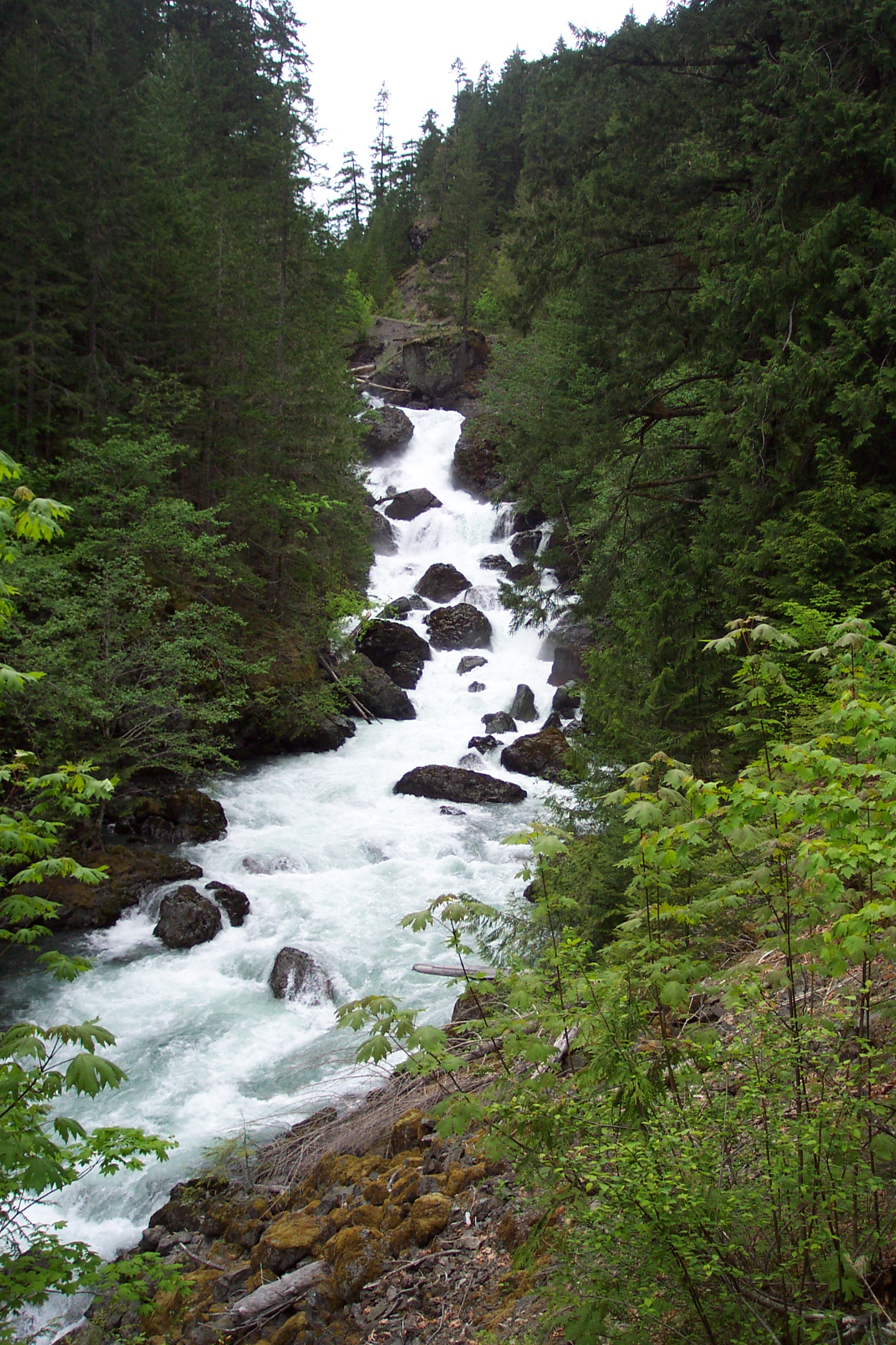
While this app is a great tool for "front country" visits (places you can get to with a car, bike, or short hike), it's not meant to guide you through the back country. For that we have the Wilderness Information Center - WIC for short. The WIC rangers can talk through routes, gear, and trail conditions with you, and set you up with a permit.

Bear Creek Campground
Bear Creek is a 16-campsite campground that is located along the Sol Duc River. Visitors to the campground can take a hiking trail to the river and fish along its banks.

Camp Spillman
This year-round recreation site, located near Belfair in the Tahuya State Forest, offers access to more than 200 miles of multi-use, deep-wooded trails.

Colville Trails
Colville Trails provides roughly 3 miles of directional natural surface mountain bike trails. It was primarily designed and built by local volunteers to provide an opportunity for beginning mountain bikers to progress their skills.

Coppermine Bottom
Along the Clearwater River, Coppermine Bottom Campground offers a secluded and primitive campground to enjoy the Olympic Peninsula. Day use shelter includes a wood stove.

Cottonwood Campground
Cottonwood Campground is a primitive campground near the Hoh River located close to the Olympic Experimental State Forest.

Don Lake
Don Lake is a day-use site in the West Tahuya Forest popular for fishing and launching small boats. Open April 15 - October 30.

Duncan Memorial Big Cedar Tree
Duncan Memorial Big Cedar Tree offers a glimpse into the life cycle of an impressive cedar giant. Take a short hike just a few hundred feet to see a nearly 1,000-year-old cedar towering in the forest.
Explore by type
Look outside
Live from WSDOT
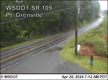 SR 109 at MP 36.7: Pt. Grenville
 US 101 at MP 152.5: Queets
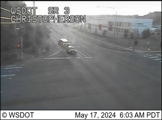 SR 3 at MP 34.2: Christopherson
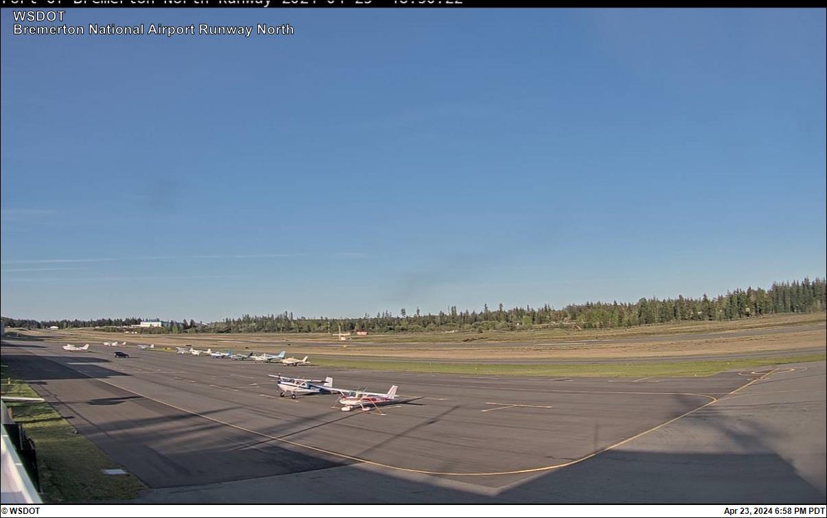 Bremerton National Airport North
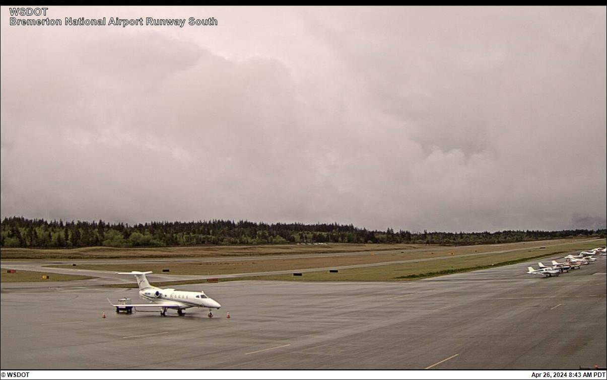 Bremerton National Airport South
 SR 112 at MP 23.1: Burnt Mt
Reload for the latest frame. Cameras go dark at night and in heavy weather, which is itself worth knowing before you set off.
Never miss a new destination